
京都到宇治和大津自行車指南和路線
Cut through the heart of Kyoto before arriving at Uji and experiencing a remarkable passage of cycling and scenery. The hillside roads high above the river must be seen to be believed.
目錄
- 引言>
- 路線 >
- Kyoto Heart >
- Kamo river and through Fushimi. >
- To Uji >
- Uji river, Seta river and Route 3 >
- Nango and Otsu >
- Sanjo dori and the return through Kyoto >
- 最後的思考>
介紹
This is a 70km cycling route that starts in Kyoto, heads down the Kamo river, then over to Uji, before winding north east along route 3 up to Otsu then back into Kyoto to finish.
The ride has some excellent moments and while being 70km doesn’t feel to strenuous mainly because there aren’t any really steep climbs to contend with.
While the ride does have some incredible scenery – especially along the dramatic route 3 through the mountains of Uji – there is some traffic to contend with towards the start and end of the ride especially during peak hours.
路線
Distance: 70km (Based on location of old shop)
Elevation Gain: 903m
京都之心
The ride starts on the Shijo dori and heads east through downtown Kyoto, passing Hankyu Karasuma station and the heart of Kyoto city.
The road is very busy – especially near the centre of course – but I find this to be an interesting part of the ride in a way.

Some of the buildings going through the city are impressive and there is a lot of energy in the CBD and main shopping districts of Kyoto.
The centre does have an unusually large amount of traffic lights which slows you down, but being on the bike is actually quite fast as you can get around the buses stopping while cars are too big to squeeze around and have to wait.
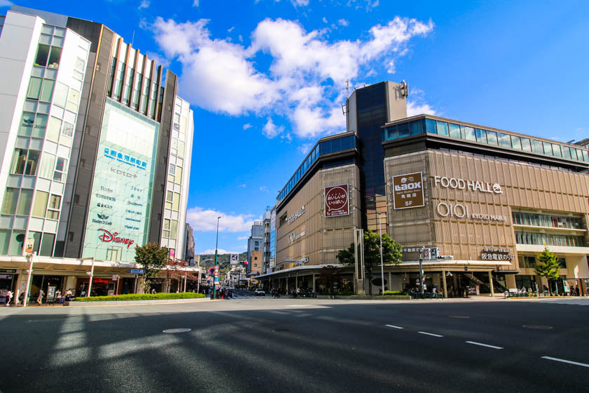
Keep riding until you get to the Kamo where we’ll turn right and make our way south.
Kamo river and through Fushimi
When you reach the Kamo river you should cross the bridge so when you get down onto the bike path, you’re on the east ride of the river.
It’s also fine to ride down the west side of the river but you’ll need to cross over at some stage to head south east towards Fushimi.
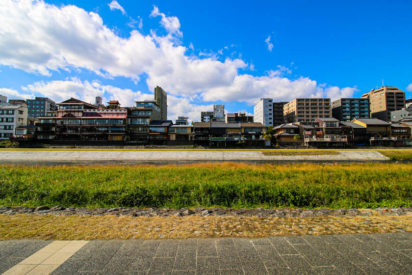
Continue south down the Kamo river which is a lovely ride every time. After heading south for around 500m the river gets quite peaceful and the Japanese architecture of the bridges is always a pleasant sight.
Through Fushimi

This road is called the Shidan Kaido and there is a bit of traffic to deal with as a lot of cars and trucks and going to or coming from the Meishin expressway which is a bit further south.
You pass under the expressway and head left and then a quick right to get onto route 35.
The traffic eases and route 35 becomes quite a charming road with old fruit shops, general stores, houses and a sense of community that has endured over time.
Left onto Sumizome dori
You then make a left turn, go past Suizome station and start heading up a small climb lined with lovely Japanese houses, parks and a train track crossing until you get the top which shows a great view of the mountain range running south towards Uji.

Launch into the downhill and take care as it is pretty steep in parts so get your hands on the brakes and focus on the winding descent through the suburbs until the bottom.
To Uji
When you get to the bottom of the hill you make a hard left and get onto route 7.
You follow this road until Uji and there is also a fair bit of traffic and some narrow sections so stick to the left and keep pedaling until the mountains on the left slowly get closer and closer as you push yourself towards nature and away from the commotion of the city.
There is a lovely moment as you reach the top of an incline and you get a nice view of Uji down below.
Continue down the hill and over the beautiful Uji bridge which is the main bridge in the city centre. The bridge can be a nice place to stop and admire the river scenery and feel the aura that Uji seems to radiate.
Through the Tori Gate
After your moment on the bridge, cross over and take the first left which brings you to the fork with the large tori gate on the right, and the Byodoin Omotesando on the left (approach streets to shrines in Japan are sometimes called Omotesando which translates to Omote (front) and Tando (approach).
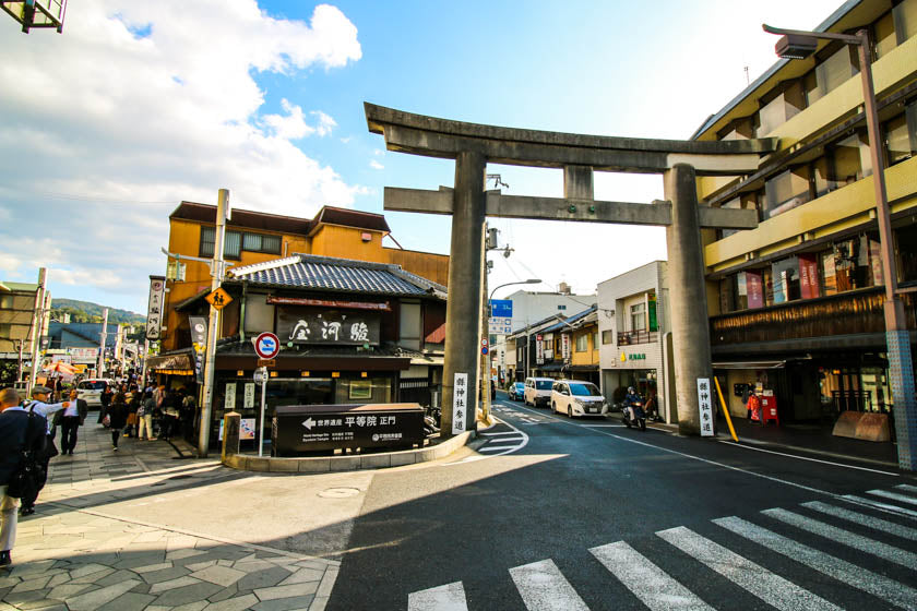
Our route doesn’t take in the Byodoin shrine but if you haven’t visited and you have the time it’s a revered shrine that deserves a visit.
The 10 yen coin actually has the Byodoin shrine on it which is a pretty good indicator of its cultural significance to Japan.
Whether you visit the shrine or not, we take the right road under the tori gate and head up an incline before we turn left onto route 3.
Uji river, Seta river and Route 3
Once you come into Uji and head through the huge tori gates you feel the ride start to change as you pass amazing Japanese architecture, feel the magic of Uji and begin the ride along route 3 up the river and into the mountains.

Route 3 along the Uji and Seta river is one of Japan’s gifts to cycling.
The mountainside road slowly climbs until you are careening around winding roads perched high above the river below.
The rivers are a constant presence carving a way through the thick forest and valley until it joins the Yodo river which is the largest river running through Osaka.

The ride pretty much follows the river but make sure you keep left on route 3 just before the dam as there is a right turn which confuses some riders.
Keep going until you reach the Yoimachi bridge where you want to turn left and head over the bridge.
Nara Option
Turning right here and heading south down the 62 is one way to include Nara in this loop by heading down to Nara and back and joining back onto this route here.
If you decide to tackle the full loop with Nara included the ride becomes a 130km epic that isn’t for the faint hearted.
There is some breathtaking scenery and riding towards Nara along with some intense climbs which are sure to give your stamina and strength a good work over.
For those interested the route is below.
Longer Route Including Nara
詳細
Distance: 139km
Elevation Gain: 2,006m
View on Strava >
Road Works
Due to the landscape parts of route 3 are sometimes closed after heavy rain, typhoons or just for general maintenance to clear trees that start hanging over the road or other debris.
One of the lanes could also be partially closed and stop-go road workers let each direction through in short bursts.
Having said this it’s probably better to avoid the route after severe weather.
Cross Yoimachi Bridge
After heading over the bridge the ride keeps delivering with some delightful bends, beautiful green colour to the river, deep forests and striking bridges along the Seta river.
The Omine bridge – the reddish one – that you pass first is probably the pick of the bridges but they all make for beautiful viewing as you wind along the road.
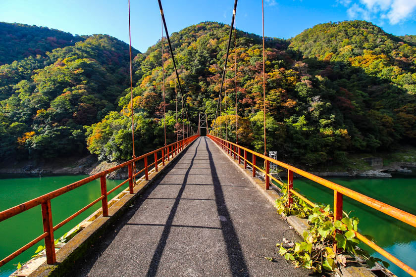
Nice Tunnel
Keep going and pass through the short tunnel (actually a nice tunnel to ride through!) and past the Kisenyama bridge (the white one closed by a gate) which is also nice but is closed to the public.

Cross Yuzuka Bridge
The bridge you need to keep a close eye out for is the Yuzuka bridge, which is a bridge for traffic with two lanes and signs for Otsu.
When you get to it, cross this bridge and head right following the signs pointing to Otsu.

Keep cycling on route 3, following the river and the excellent scenery east and eventually go past a small traditional town on the left with a shrine at the top of the hill.
Ishiyamasotohatacho
The town is called Ishiyamasotohatacho and the shrine on the hill is called Jokoji.
If you have the time it’s worth taking a quick left into the town and soaking up the atmosphere of the beautiful traditional houses perched up above the river below.
The shrine on the hill is also worth a look, you can get pretty close on the bike before hopping off and walking the rest of the way up the stairs.

The shrine is quite high so it offers a beautiful view of the town below, and the valleys and mountains in the distance.

After you’ve enjoyed the landscape head back down onto the route and be sure to catch a glimpse of the town on the other side of the river (your right side) while you ride.
Because the road you’re on is a bit higher than the other side, you a get a lovely view of Oshiyodo which is the town nestled in the mountains across the river.
Nango and Otsu
Our route takes us through the riverside town of Nango and the riverside part of Otsu before turning left and heading west away from Lake Biwa.
Biwa is the large freshwater lake in Japan and the Seta river – which we just rode up – is its largest outlet.
We don’t see much the lake on this ride but it’s also a popular cycling destination with some amazing spots.
Route 1 through Otsu
You can take the 104, then make a quick right onto the 782 and then left on the number 1 which is the final leg of the ride.
Route 1 is a main road and depending on the time of the day there can be a fair bit of traffic.
I recently went through here at 4:00pm – 5:00pm and there was a lot of peak hour traffic which was still OK, but I’d recommend to avoid it.

As we ride through central Otsu you can’t see much of the lake on the left but can see the mountains in the distance which is an impressive sight.
Marathon Monks
The largest of these mountains is Mount Hiei which stands at 848m.
If you are feeling tired here take a moment to think of the marathon monks of Mount Hiei, who completed the 1,000 day challenge of walking between 30km and 84km a day for periods of either 100 or 200 consecutive days — a total distance about the same as walking around the Earth.

Having gained some monk perspective keep spinning the wheels and take yourself west past Otsu station and back into the mountains.
Route 1 starts heading up an incline which can be tiring but after a few more thoughts of the marathon monks you’ll hopefully find the energy to get up the hill and down the other side.
Large Bypass
Keep heading along route 1 until you reach a large traffic junction (bypass) with roads going in a few directions. We want to get to the Sanjo dori on the west side of the bypass and there are a few ways you can get there.
But, be careful here when veering right and going under the Meishin expressway because if you aren’t a confident rider it could be a little dangerous.
The two left lanes both go left (pink lines below) so you actually need to be in the third lane over in order to make the right turn and go with the traffic.
This means crossing two lanes of traffic and the cars are going relatively fast here so it can be difficult to get over on the bike.

Sanjo dori and return through Kyoto
Keep cycling along the Sanjo dori and you’ll come to the last hill of the climb before rolling downhill and through the northern part of the beautiful Higashiyama area of Kyoto.
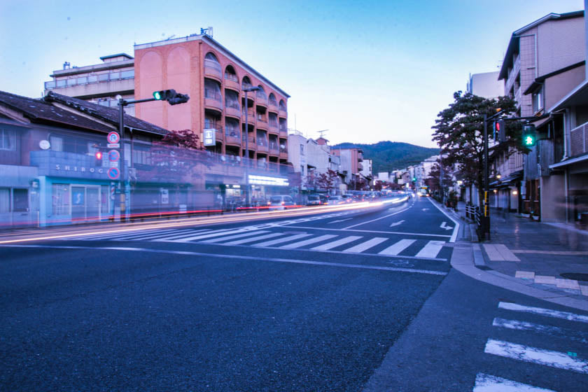
Finally turn left and head south along the Kamo river or one of the side streets before turning right onto the Shijo dori and making the final dash west towards the finish.

最後的思考
A beautiful ride with a lot of great sections on the bike but the obvious highlight is the ride on route 3 along the Uji and Seta rivers.
This section is incredible and for anyone cycling in the Kyoto, Nara and greater Kansai area we highly recommend taking your bike down there if you can.
There are other moments of magic on the ride to enjoy making for an thoroughly enjoyable ride however the traffic in some sections isn’t the best so be sure to avoid peak hours if you can.
Happy cycling!
